Nepal has finally taken Lipulekh, Kalapani and Limpiyadhura as its territory when there were disputes going on with India. The announcement was made on Wednesday by Padma Kumari Aryal, a minister for land management in Nepal. The map was endorsed on Tuesday. A diplomatic start was given to thus dispute as stated by Nepal Foreign Minister Pradeep Kumar Gyawali.
The Lipulekh pass may be a far western point near Kalapani, a disputed border area between Nepal and India. Both India and Nepal claim Kalapani as an integral a part of their territory – India as part of Uttarakhand’s Pithoragarh district and Nepal as part of Dharchula district. India recently inaugurated a road connecting Lipulekh and that Uttarkhand directly to it.
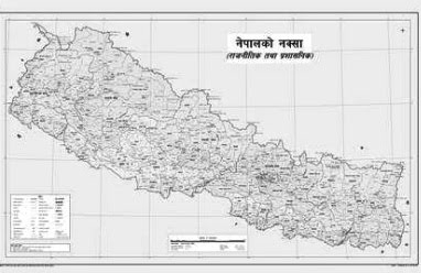
“Decision of the Council of Ministers to publish the map of Nepal in 7 provinces, 77 districts and 753 local level administrative divisions including Limpiyadhura, Lipulekh and Kalapani,” Gyawali tweeted on Monday.
Last week Nepal protested again thy construction of the road by Gyawali handing over diplomatic note to the Indian ambassador Vinay Mohan Kwatra. India claimed how the road completely lies within its territory. The new Nepal map includes the 335-km land area.